Anouncement

Anouncement
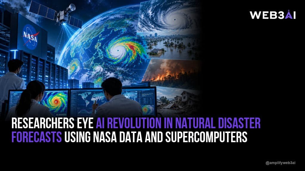

LUGANO, Switzerland — A massive technological leap is transforming how the world predicts extreme weather and natural hazards. Researchers in Switzerland are training cutting-edge artificial intelligence (AI) models using massive troves of NASA climate data, aiming to deliver potentially lifesaving early warnings at lightning speed.
By feeding billions of files into one of the world’s most powerful supercomputers, scientists are unlocking patterns in satellite imagery that were previously invisible to the human eye—a breakthrough expected to reshape global disaster prevention.
Researchers at Switzerland’s Federal Institute of Technology Zurich (ETH Zurich) and the Swiss National Supercomputing Centre achieved a massive milestone after spending roughly a year copying 100 petabytes of publicly available NASA data onto servers adjacent to the Alps supercomputer.
The data archive consists of approximately six billion NASA files—a volume equivalent to roughly 20 million feature-length films or a million times the storage capacity of an average computer.
According to Reto Knutti, a climate physics professor and head of ETH’s Center for Climate Systems Modeling (C2SM), having this massive dataset plugged directly into the supercomputer changes everything.
“It’s really enabling scientists to do things we would not even have thought of before,” Knutti told AFP. “Data is essentially everything. The next step will be making sense of the data.”
The physical proximity of the data servers to the Alps supercomputer is crucial. Because the files sit mere meters away from the hardware, data can be transferred and processed within seconds rather than days.
Traditional weather and climate forecasting rely heavily on complex mathematical equations to simulate atmospheric and oceanic physics. While accurate, these computer simulations are computationally heavy and require hours to generate.
In contrast, the new AI-generated statistical models use pattern recognition to process vast amounts of historic and real-time environmental data:
Beyond standard weather forecasting, researchers believe this infrastructure will play a critical role in the early detection of geological hazards, such as landslides, floods, and glacier collapses.
Experts note that many geological disasters leave subtle markers in satellite data long before a catastrophe occurs. For instance, close satellite monitoring previously allowed Swiss authorities to successfully evacuate a village a week ahead of a major glacier collapse, completely averting mass casualties.
Researchers hope to scale this capability globally to prevent tragedies like recent devastating floods and sudden glacial collapses, establishing systematic early-warning frameworks that could save hundreds or thousands of lives worldwide.